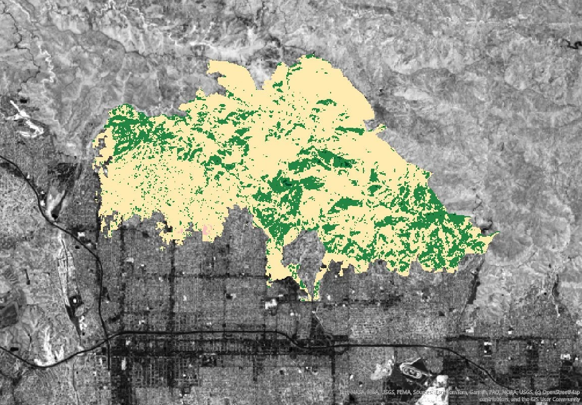
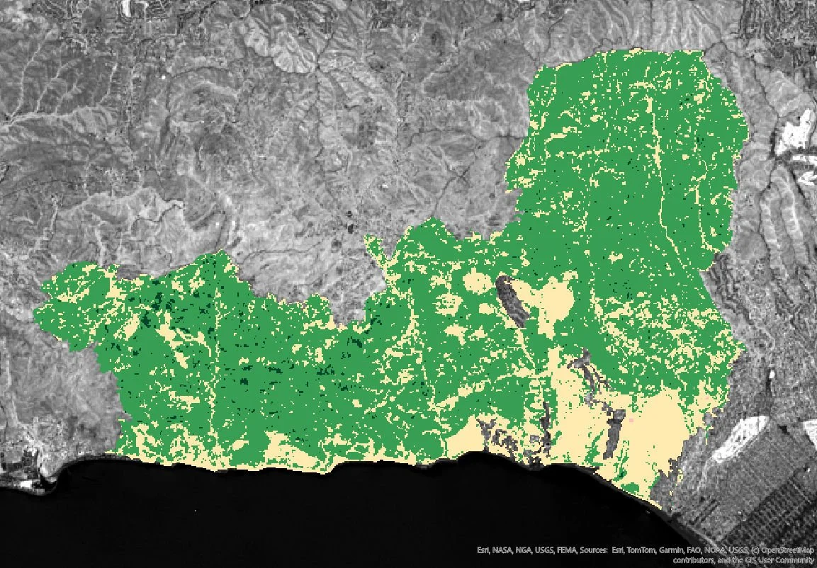
Post-Fire Burn Severity and Vegetation Recovery
A remote sensing case study of the 2025 Eaton and Palisades Fires
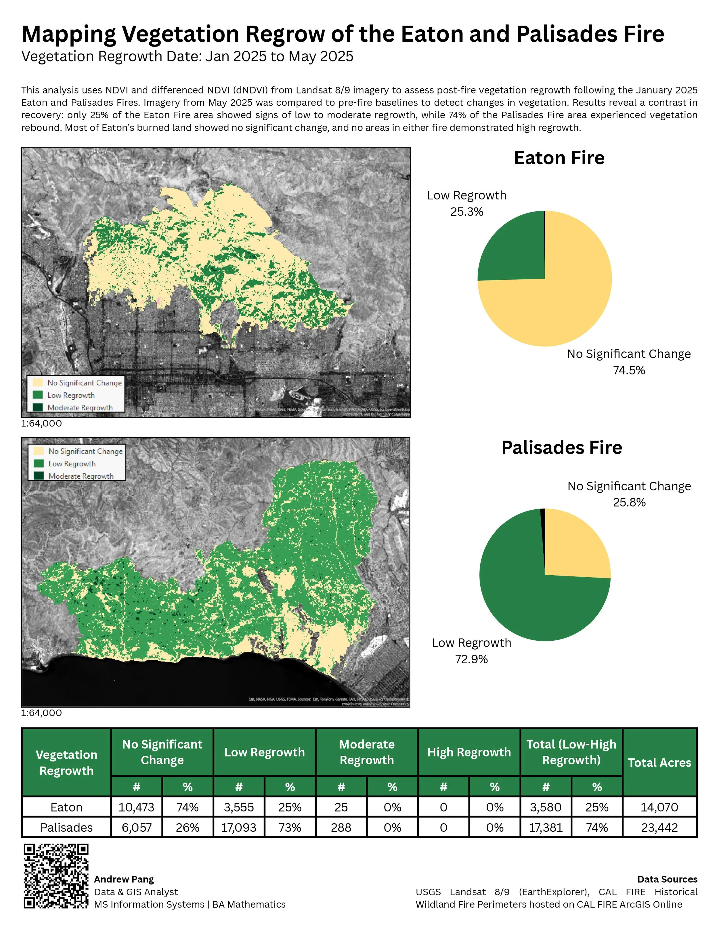
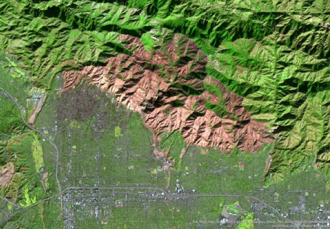
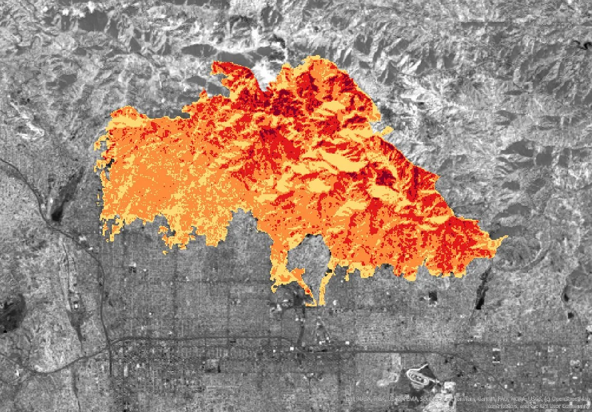
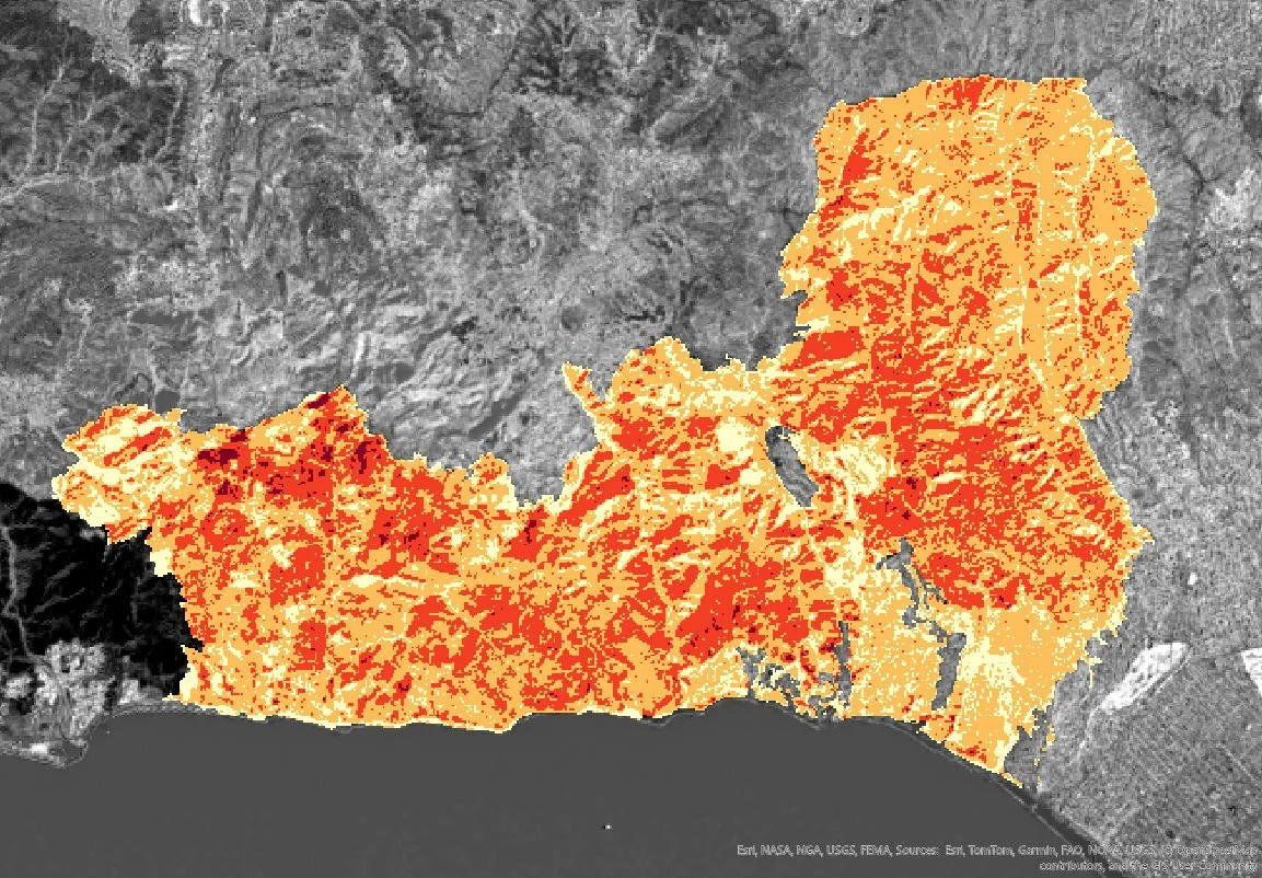
As part of my M.S. in Information Systems, I co-authored this paper on using satellite imagery and GIS to assess burn severity and vegetation recovery after the 2025 Eaton and Palisades Fires. The project compares early regrowth patterns using NBR and NDVI.
Publication details
Authors: Vivian Sultan and Andrew Pang
Published in: ENERGY 2026
Methods: Landsat 8/9, NBR, NDVI, ArcGIS
Focus: Wildfire recovery, remote sensing, Southern California